
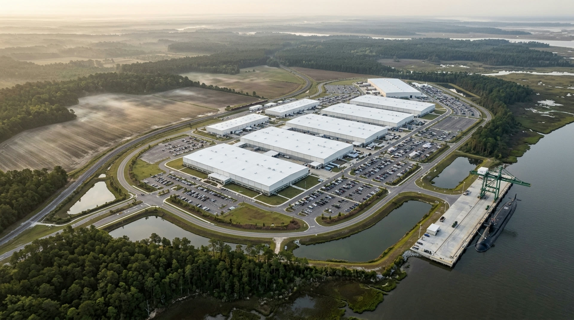
Domain · Sub-T

The one place
they believe
you cannot look

No GPS. No radio. No map. No light. Four systems built from the physics of the medium rather than from a surface product pointed downward.

Find · Enter · Connect · Persist 4 systems Muon tomography

Underground is the blind spot of modern ISR

Revenant

Every ISR architecture built since 1960 assumes the thing you want to see is on the outside of the Earth. Overhead imagery, SIGINT, GMTI, ELINT and every commercial constellation stop at the first metre of soil.

So that is where the adversary put the things he could not afford to lose. Strategic weapons production and storage. Integrated air-defence operations centres. National command and control. Leadership survival. Missile storage and rail-mobile launchers. Ammunition. Drone assembly. Hostages. Hardened and deeply buried targets are discussed in open Defense Intelligence Agency material in the thousands worldwide. Cross-border smuggling tunnels on the US southwest border are counted in the dozens discovered, which is a different number from the one that exists.

He did not do this because he is clever about geology. He did it because he understood our sensors better than we understood his rock.

No GNSS

Attenuation through soil and rock at L-band is total. There is no degraded GPS underground. There is no GPS.

No through-rock RF

Skin depth at 100 MHz in rock at 0.01 S/m is 0.50 m. Radio does not go through rock at any useful bandwidth — only at a few kHz, and then at tens of bits per second.

Corners, not distance

A clean straight tunnel carries 900 MHz at 0.05 dB/m. A single right-angle bend costs 20–40 dB. Tunnels are not straight. That is the whole story.

No prior map

The interior of a hardened facility is, by construction, the thing the adversary spent the most money making unknowable.

Section through the sub-terranean ISR blind spot A vertical section from the sky to 150 metres below ground, with a true-scale detail panel beneath it. Every overhead sensing layer, EO/IR and SAR imagery, SIGINT, ELINT and GMTI, is drawn as a curtain of downward lines that stops dead at the ground surface at zero metres. Cosmic-ray muon tracks arrive across the same sky at a spread of zenith angles, cross the surface, and are absorbed at different depths: the wide-angle tracks die within the first few metres of rock and only the steep ones reach 90 metres, about one in a thousand. A hardened facility is drawn at 90 metres with an entry shaft, a gallery and a chamber; CATACOMB is inside the gallery, BARROW relay nodes sit along it on an optical bearer, and a WAKE pod is buried half a metre down, listening to the facility's 50 hertz machinery line. The detail panel below shows DOWSER Configuration B at true scale: two borehole sondes 150 metres apart, each 20 metres below a 3 metre tunnel that subtends 150 milliradians from the sonde, giving five sigma in 55 to 90 days on one hole and plus or minus 1.5 metres on three. OVERHEAD ISR SIGINT · ELINT · GMTI Airborne · commercial EO · LANDSAT 8 OLI 30 m · 2025-08-18 SAR · SENTINEL-1A IW GRD · VV · 2024-06-19 SAME 70 × 49 km OF GROUND · BOTH RETURN ONLY THE SURFACE DEPTH BELOW DATUM Cosmic-ray muons FREE · EVERYWHERE · CONTINUOUS CANNOT BE JAMMED OR SWITCHED OFF THE GREY LINES ALL STOP HERE. THE TEAL ONES DO NOT. 0 m 30 m 45 m 90 m 150 m GROUND SURFACE ENTRY HARDENED FACILITY · 90 m · 225 m.w.e. 8 × 8 × 4 m DETAIL ▾ CATACOMB BARROW · A RELAY EVERY 80 m WAKE · BURIED 0.5 m · 400 DAYS AT 1.1 W 50 Hz MECHANICAL LINE ABOUT 1 IN 1,000 SURVIVES TO 90 m SLANT DEPTH = DEPTH / cos θ — ONLY THE STEEP ONES GET DEEP A 3 m TUNNEL AT 90 m IS A 7.3% EXCESS IN THE SURVIVING FLUX DETAIL ▴ · CONFIGURATION B — BOREHOLE SONDES · TRUE SCALE 1:1 3 m TUNNEL AT 90 m · SUBTENDS 150 mrad 20 m PEAK ACCEPTANCE AT ~45° · 0.18 m² 150 m SONDE 108 mm × 2.40 m · 46 kg · 11 W · AT 110 m 5σ IN 55–90 DAYS, ONE HOLE · ±1.5 m ON THREE

Scroll the section sideways →

FIG. 01 — SUB-T DATUM SECTION
DEPTH TRUE TO 150 m · MUON TRACKS AT TRUE ZENITH ANGLE · FACILITY PLAN LENGTH COMPRESSED
DETAIL PANEL AT TRUE SCALE, 1:1 VERTICAL TO HORIZONTAL
TRACK COUNT IS ILLUSTRATIVE — THE SURVIVAL RATIO IS ON THE DRAWING
SOURCE: DOCS/SPECS/SUBTERRANEAN.MD §2.2 · DESIGN TARGETS
EO TILE: LANDSAT 8 OLI VIA NASA GIBS (HLS) — USGS/NASA, PUBLIC DOMAIN
SAR TILE: SENTINEL-1A IW GRD VV VIA ASF — CONTAINS MODIFIED COPERNICUS SENTINEL DATA 2024
BOTH REAL CAPTURES, RENDERED MONOCHROME · CENTRAL NEVADA 38.27°N 117.14°W

What the drawing is claiming

Tracks are sampled from the cos²θ surface distribution and stopped where their range actually runs out, so the wide-angle ones die in the first few metres of rock and only the steep ones reach the facility. Read the depth axis as a schedule, not a wall: below 150 m this stops being a raid cue and becomes a survey.

Depth–intensity relation for a 3 m tunnel in rock at 2.5 g/cm³. Intensity is vertical muon intensity in m⁻²s⁻¹sr⁻¹. Times are to , including background and systematics. Derived, not measured — docs/specs/SUBTERRANEAN.md §2.2.5.
Depth Overburden Vertical intensity Flux excess behind the void Time to
30 m75 m.w.e.0.6622.0%3–5 h
45 m112 m.w.e.0.2714.7%12–20 h
90 m225 m.w.e.0.0587.3%7–10 d
150 m375 m.w.e.0.0194.4%6–10 weeks
90m Rock a DOWSER muon array sees through
0.45m CATACOMB map RMS error over a 3 km traverse
80m BARROW relay spacing, 100 Mbps optical per hop
400d WAKE endurance buried, at 1.1 W

The systems

All systems

Find it. Enter it. Connect it. Keep watching it.

Four products, one mission, in the order it actually runs. Each one makes the next one possible, and three of them make the first one better.

01  Find

Dowser

Cosmic-ray muons arrive free, everywhere, continuously, and cannot be jammed or switched off. A tunnel removes 7.5 m.w.e. of rock from the ray path, which is a 7.3% excess in the muon flux behind it. Eighteen square metres of detector resolves that in four days at 90 m. Seismic gives you the fast answer; gravimetry gives you the density model the muon inversion needs.

02  Enter

Catacomb

Tracked for the 92% of the traverse that is floor, legged for the 8% that is stairs, rubble and lip. Lidar-inertial odometry with leg-contact updates and loop closure, and a 77 GHz radar for when dust has blinded everything optical. The output is a metric model with provenance on every point, not a sketch.

03  Connect

Barrow

A tunnel is a pipe, so the right bearer is a beam down the pipe: 1550 nm at 100 Mbps with 19.9 dB of margin per 80 m hop. Through-structure acoustic at 20 bps when dust closes the optical path. And because each node is a fixed point that ranges to its neighbours at ±3 cm, the relay chain is also the survey control network.

04  Persist

Wake

Listening is the entire power budget; talking costs 0.3 mW. So the pod listens for 400 days and speaks for 46 seconds a day. A rock-solid 50 Hz mechanical line under a hillside with no building on top of it is a generator, and a generator running continuously underground is the best signature of a buried command post there is.

Why this is the flank

Development programme. Every figure on these pages is a design target or a derived budget, and each one is marked as such in the engineering specification. Nothing in this domain has been fielded.

Bring us a hillside and a question

Contact

The first conversation is not a demonstration. It is a feasibility check: what is the overburden, what is the density, is there anywhere to put a detector that has the target above it, and how long do you have.

If the geometry does not close, we will tell you on day one rather than after the contract is signed. If it does, we will show you the arithmetic.

Request a briefing   FORGE-2

Engineering spec
docs/specs/SUBTERRANEAN.md
Systems
CATACOMB · DOWSER · BARROW · WAKE